Project Description
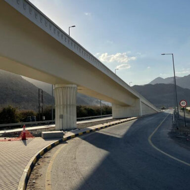
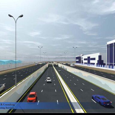
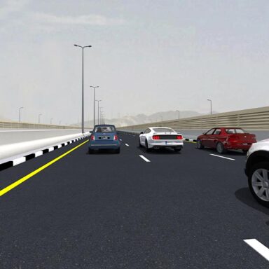
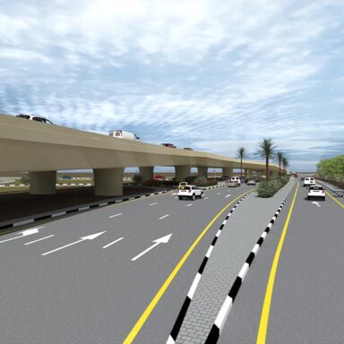
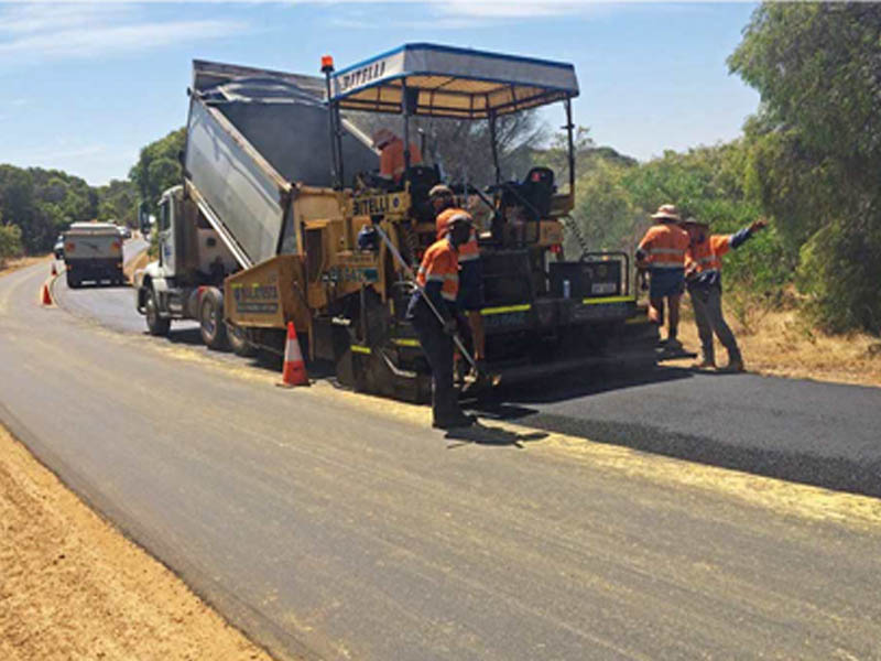
The Project consist of Rehabilitation of Hargeisa – Berbera – Tog Wajale which includes Berbera Civil Airport.
The corridor area is 5 km width and 250 km approximate road length, that need to be covered by Stereo Satellite Imagery, 0.5 km width of DTM and digital Orthophoto. Part of the project area is already covered by stereo satellite imagery taken by Digital Globe sensors for the total of 644sqkm, while the remaining area a total of 687 sq km will be collected by Airbus sensors (Pleiades).
Scope
Design & Supervision Consultancy Services
Client
Abu Dhabi Fund Development
Location
Somaliland
End of Assignment
2018


